Estimated read time: 3-4 minutes
This archived news story is available only for your personal, non-commercial use. Information in the story may be outdated or superseded by additional information. Reading or replaying the story in its archived form does not constitute a republication of the story.
SALT LAKE CITY — New technology is available to Utah information systems that will facilitate faster decision-making and improve management for government and businesses across the state.
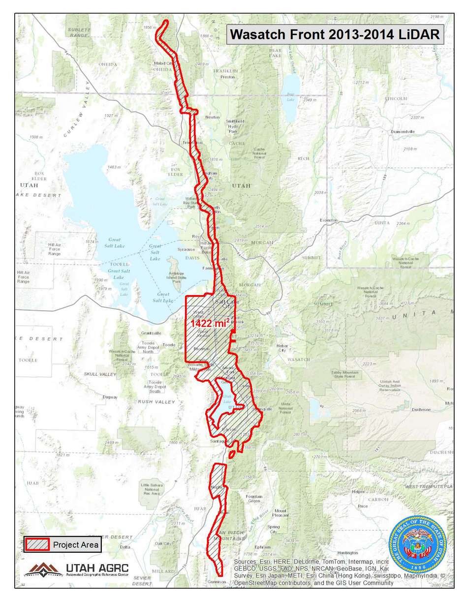
The Utah Mapping and Information Partnership is a collaboration between state agencies, local governments and other public-sector partners to offer cutting-edge mapping technology. The partnership has produced statewide, high-resolution mapping imagery and a database of information that can be viewed in a single map-based system.
The project provides imagery on par with private applications like Google Earth for state use. Such technology can improve the quality of state applications used for public safety, transportation, environmental quality, outdoor recreation and more, said Bert Granberg, director of Utah's Automated Geographic Reference Center.
The imagery will allow users to view land features, transportation corridors, buildings and more in much greater detail, he said.
Contributing partners of the project include the Department of Environmental Quality, the Utah Department of Transportation, the Department of Public Safety, and other agencies, as well as a handful of Utah counties.
Utah Lt. Gov. Spencer Cox presented the mapping project at the state Capitol Wednesday, saying it will enhance the tools Utah agencies and governments use to manage and protect Utah assets that contribute to citizen quality of life, including “shared air, water, public lands and infrastructure investments.”
“The UMIP partners' shared vision and leadership provides Utahns with an important tool to improve mapping applications and provide greater access to public data,” Cox said in a press release. “This collaboration will serve our future generations well.”
The high-resolution imagery and shared data will give businesses the tools to identify geographic risks, which will ease their decision-making processes. Cox used an example of a business seeking to drill a new oil or gas well in Utah, illustrating how blending information from numerous agencies in one database is beneficial, as the business will have to consider issues ranging from zoning, air quality, transportation and more.

“In order to identify and prioritize risks and make informed decisions about potential investment, this business will need access to data managed by numerous state departments and divisions,” Cox said. “Having data from multiple agencies available in a single application, businesses efficiently identify location-based risks, decreasing their cost of doing business in Utah and increasing the speed of moving from planning, to permitting, to production.”
Lee Peacock, president of the Utah Petroleum Association, affirmed the value of the project.
“We can all gain a greater understanding of our environment and potential risks with the partnership’s high-resolution aerial imagery,” Peacock said in a prepared statement. “This will lead to better, more informed decisions in both industry and in Utah government.”
Granberg said as the data from the mapping partnership grow, it will be accessible to the public at opendata.utah.gov. While Utah’s agencies and government have great use for the mapping technology, citizens can also benefit by gaining visual tools that can help them better understand state issues, from air quality to water transportation.
The partnership’s project to more efficiently pool and present information can help oil the cogs of the legislative machine, Granberg said.
“A better informed citizenry makes it easier for legislators to make great decisions,” he said. “And a better informed industry makes it easier to interact with government and vice versa.”
Cox encouraged the Legislature on Wednesday to support the $600,000 one-time appropriation included in Gov. Gary Herbert’s budget recommendation to build upon the partnership’s data-sharing infrastructure.
“The governor and I are also grateful for the shared vision and leadership of all of the UMIP’s partners,” Cox said, “and we look forward to providing Utah’s citizens and businesses with this important tool.”


